

Is working with Terraspect right for your project?
A paragraph that describes who your clientele is and what you do for them.
Drone License:
Insurance:
Anchored in Redmond, Oregon
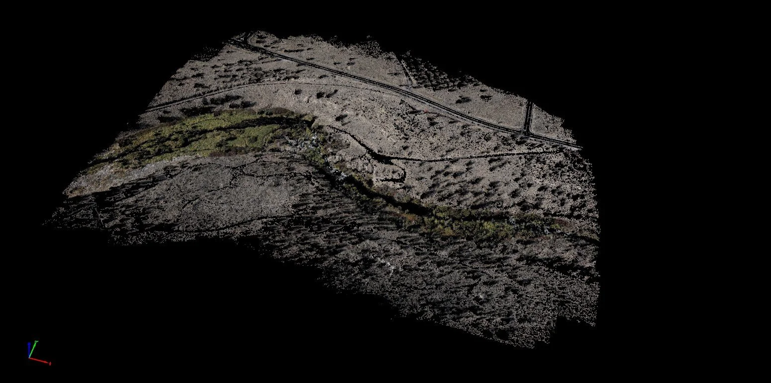
Aerial Site Mapping
Comprehensive drone-based mapping that captures your entire project site in high-resolution detail. Get accurate boundary documentation, topographic overviews, and site condition assessments that help you plan effectively and identify potential challenges before they impact your timeline or budget.
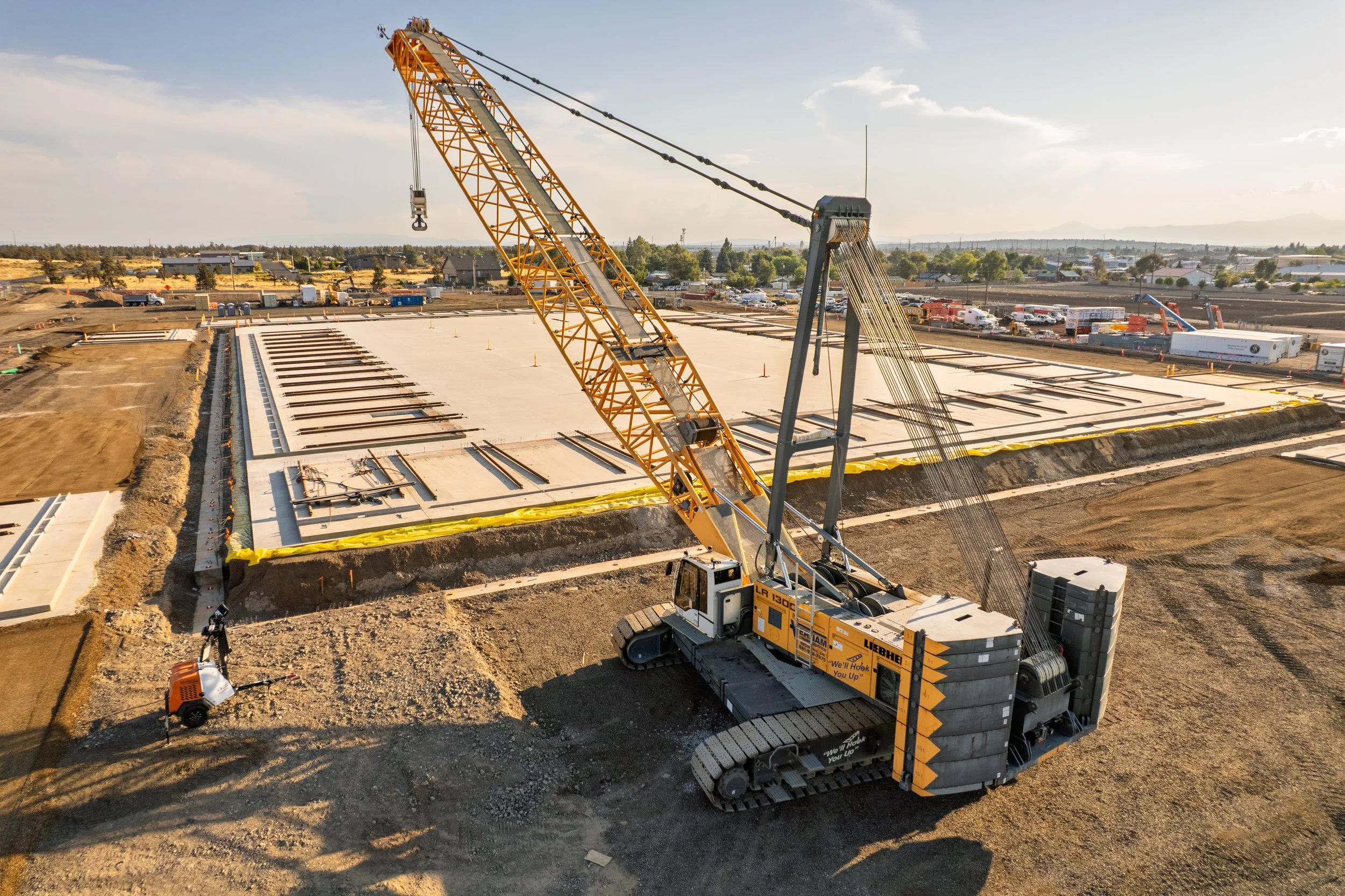
Construction Progress Monitoring
Regular aerial photography that captures your project at key milestones and scheduled intervals. Document site changes, construction phases, and project advancement with high-resolution imagery that provides clear visual records for stakeholders, project managers, and quality control. Our systematic documentation approach helps you track progress, verify work completion, and maintain comprehensive project records from start to finish.

Custom Data Collection
Tailored aerial services designed around your specific project needs. Whether you need specialized documentation, unique angles, or custom reporting formats, we work with you to capture exactly what your project requires.
Meet the owner
Steven Arant has been flying drones commercially since 2021.
When he isn’t the eyes in the sky, Steven has likely taken his wife and daughters mountain biking or backpacking.
