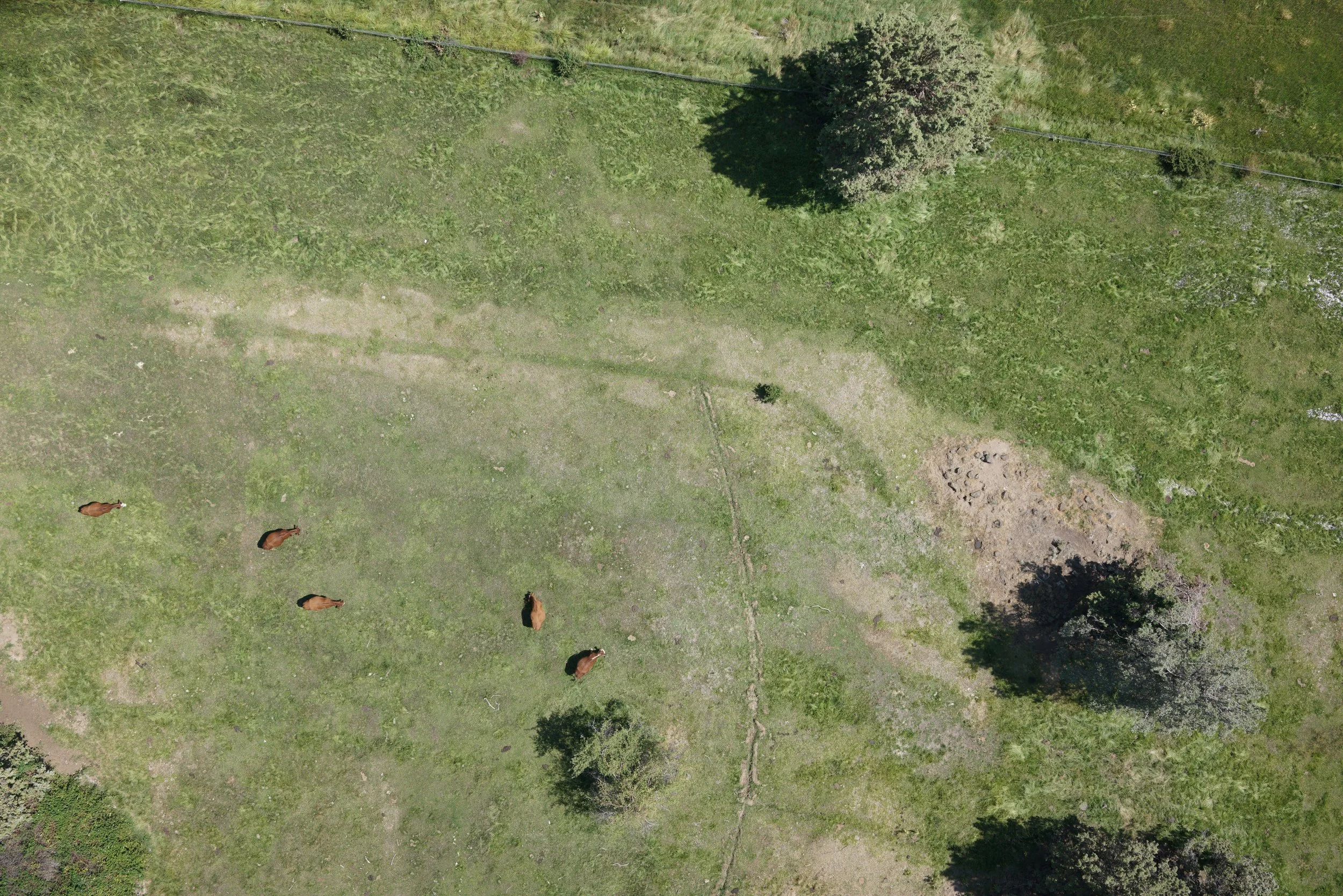
Aerial land survey photography in Central Oregon and beyond.
Grabby headline
See your project from every angle.
Intro text that briefly explains what folks can expect from working with Terraspect
With Terraspect, you get reliable drone mapping and aerial surveying that helps you plan construction projects effectively, monitor site progress clearly, and make informed decisions with confidence. We're expanding our capabilities to serve construction, development, and surveying projects of all sizes.
Client Name, Company Name


